What is Cyvl.ai?
Cyvl.ai is an innovative platform designed to streamline transportation infrastructure management through AI-driven mapping solutions. By collaborating with engineering firms and government agencies, Cyvl.ai enables efficient mapping, measurement, and inspection of physical spaces. Its tools help users make fast, data-backed decisions essential for maintaining and improving transportation networks.
Key Features:
- Automated Pavement Assessments: Performs highly detailed pavement evaluations using AI algorithms.
- 360° Streetview Imagery: Comprehensive street-level visuals for urban planning and analysis.
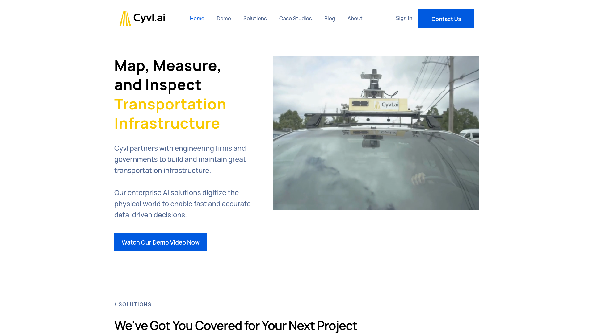
- LiDAR Scanning: Provides accurate 3D scans of the built environment, significantly reducing data collection times.
- Asset Detection: Identifies various Right-of-Way (ROW) assets, such as streetlights and hydrants.
- Sign and Tree Inventories: Simplifies the management of signage and urban forestry.
Pros
-
Time Efficiency: Speeds up field surveys up to 50 times faster than traditional methods.
-
Cost-Effective: Reduces the need for costly manual labor while expediting data acquisition.
-
Scalability: Adapts easily to projects of varying sizes.
-
Data Accuracy: Enhances decision-making with precise geospatial reports.
Cons
-
Initial Setup Requirement: Setup of sensors and hardware may require additional effort.
-
Hardware Dependency: Relies on specific hardware, limiting flexibility in certain use cases.
-
Learning Curve: New users may take time to fully utilize its features.
Who is Using Cyvl.ai?
- Engineering Firms: Trusted for comprehensive infrastructure evaluations.
- Government Agencies: Helps oversee and modernize transportation systems.
- Urban Planners: Assists in regional and urban development with detailed insights.
- Environmental Consultants: Supports environmental assessments and sustainability planning.
- Uncommon Use Cases: Academic research and disaster response planning.
Pricing:
- Enterprise Solutions: Custom pricing tailored to project needs.
Disclaimer: Visit the official Cyvl.ai website for the most up-to-date pricing information.
What Makes Cyvl.ai Unique?
Cyvl.ai stands apart for its integration of AI with advanced LiDAR scanning and 360° imagery. This combination delivers unmatched insights for infrastructure management and urban planning, with rapid, reliable results that go beyond traditional methods.
Compatibilities and Integrations:
- ArcGIS Integration: Facilitates seamless data export for analysis.
- Civil 3D Compatibility: Enhances civil engineering projects.
- Cartegraph Integration: Enables smooth asset management workflows.
- Cloud-Based Platform: Ensures collaborative and accessible data processing in the cloud.
Cyvl.ai Tutorials:
Cyvl.ai offers detailed user manuals and online resources on its website to help users get started and fully utilize its tools.
How We Rated It:
- Accuracy and Reliability: 4.8/5
- Ease of Use: 4.5/5
- Functionality and Features: 4.7/5
- Performance and Speed: 4.9/5
- Customization and Flexibility: 4.3/5
- Data Privacy and Security: 4.6/5
- Support and Resources: 4.5/5
- Cost-Efficiency: 4.4/5
- Integration Capabilities: 4.5/5
- Overall Score: 4.6/5
Summary:
Cyvl.ai redefines how transportation infrastructure is managed with its state-of-the-art AI-powered mapping tools. Ideal for engineers, planners, and government officials, it delivers exceptional efficiency and precision, making it a leading solution in the industry.